the research initiative “Maps of Power" serves the methodological and interdisciplinary networking of scholars from the field of Historical Geography. The initiative, which has been running since 2019 under the title “Maps of Power: Historical Atlas of Places, Borderzones and Migration Dynamics in Byzantium (TIB Balkans)”, grew out of the idea of deepening historical-geographical research methodologically and placing it on a broader level in terms of content. Based on the scholarly project “Tabula Imperii Byzantini (TIB)”, which has been successfully conducted at the Austrian Academy of Sciences (Vienna) since 1966, the initiative intends to expand the spatial focus of the TIB on the Byzantine area in order to include other European areas in the Middle Ages as well. The successfully completed cluster project “Digitising Patterns of Power (DPP): Peripherical Mountains in the Medieval World” can be seen as a pilot project in this respect.
in order to do justice to this new idea of spatial expansion, the previous title of the research initiative has been renamed “Maps of Power – Karten der Macht”, which will allow for larger thematic depth and a longer temporal breadth. The research perspectives of the TIB until now as a representative of the research branch Historical Geography of the Byzantine Empire essentially dealt with four categories of historical sources:
the paradigm shifts in content and technical-digital innovations in science with the corresponding methodological expansions in the second half of the 20th century and in the 21st century require a methodological rethink. For the initiative, this means increased cooperation of Historical Geography with Byzantine Studies in the broader sense, as well as with Medieval Studies and the Digital Humanities.
therefore, the research initiative “Maps of Power” takes up three research areas that have the potential to act as a link between Byzantine and more Western European oriented Historical Geography and thereby lead to new research results that are significant for society:
Historical Ecology
... deals with the historical development of ecosystems and landscapes under the influence of natural and anthropogenic factors.
the aim of Historical Ecology is to focus more on the relationship between nature and humans, or humans and nature, and the transformation of landscape through human intervention. In this context, the term “power” is to be understood as “power” or “control” over someone or something. For thousands of years, human civilisation has influenced vegetation in Europe (by clearing and planting fields, introducing cultivated plants, etc.). At the same time, nature significantly determined the geography of settlements, for example through watercourses, until the era of excessive regulations. Thus, the term “power” is applicable in both directions (nature and man).
Sacred Topography
… (“Sacred Landscapes”) reflects the presence of the divine/sacred/transcendent in a given area and manifests itself through religious buildings (e.g. churches and monasteries) and religious symbols and actions (e.g. pilgrimage).
the object of study of the Sacred Topography of Byzantine landscapes are to a large extent urban and rural churches, on the basis of whose distribution one can explore sacred space, ritual and religious identities. In addition, it will be investigated whether certain landscape features favoured the formation of certain types of cults and the formation of places of worship. The perception of space by people in the Middle Ages plays an important role in this very respect. GIS software, digital cartography and database systems are increasingly used in both research areas.
Cultural Heritage
... as an essential pillar of research in Historical Geography, Cultural Heritage is becoming increasingly important worldwide.
It is the tangible and intangible heritage of a group or society that has come down from past to present generations and should be preserved for future generations. In our initiative, we refer to monuments as material, tangible heritage. Locating, describing, documenting, researching and presenting them with tools deriving from Digital Humanities is one of our central tasks, especially in times of wars, natural disasters and large-scale infrastructural projects. The field of Cultural Heritage also offers very good opportunities for comparison between East and West, which we would like to do more justice to in the future.
“Maps of Power” takes up these ideas and sees itself as a scholarly platform that would like to implement its own projects as well as network in an interdisciplinary fashion through joint projects. Research results of the initiative are continuously entered into a separate OpenAtlas database (https://openatlas.eu/) and made freely available in a specially programmed portal that makes data searchable, contains digital maps (layers) and includes comprehensive photo material.
Data from our ongoing and completed projects can be queried and visualised via the „Maps of Power“ frontend.
events
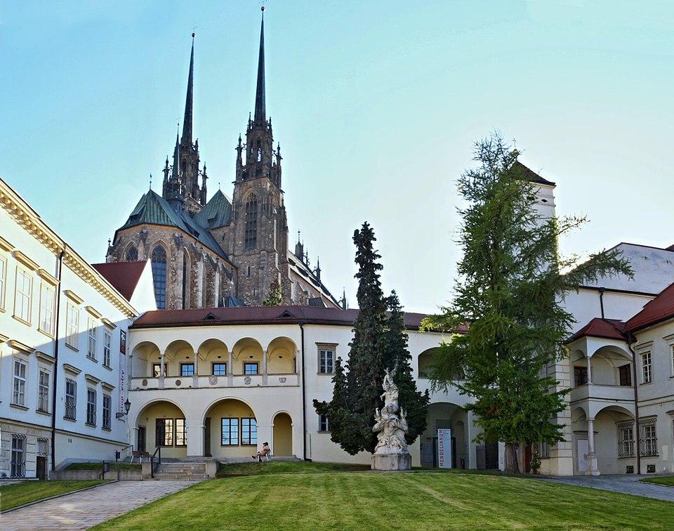
Summer School in Brno
Žarko Vujošević and Mihailo Popović gave a joint lecture on Serbian diplomatics entitled “Documentary Spaces - Spaces of Power” at the Scriptorium Brunense summer school in Brno, Czech Republic, on 26 June 2025. More information
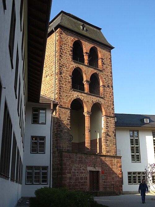
Discourse on DH and AI
On 20 June 2025 Mihailo Popović gave a lecture on DH and AI entitled “Über die Sinnhaftigkeit der und die Nachhaltigkeit in den Digitalen Geisteswissenschaften: Erkenntnisse aus der Perspektive der Historischen Geographie, Byzantinistik und Südosteuropaforschung” at the University of Heidelberg.
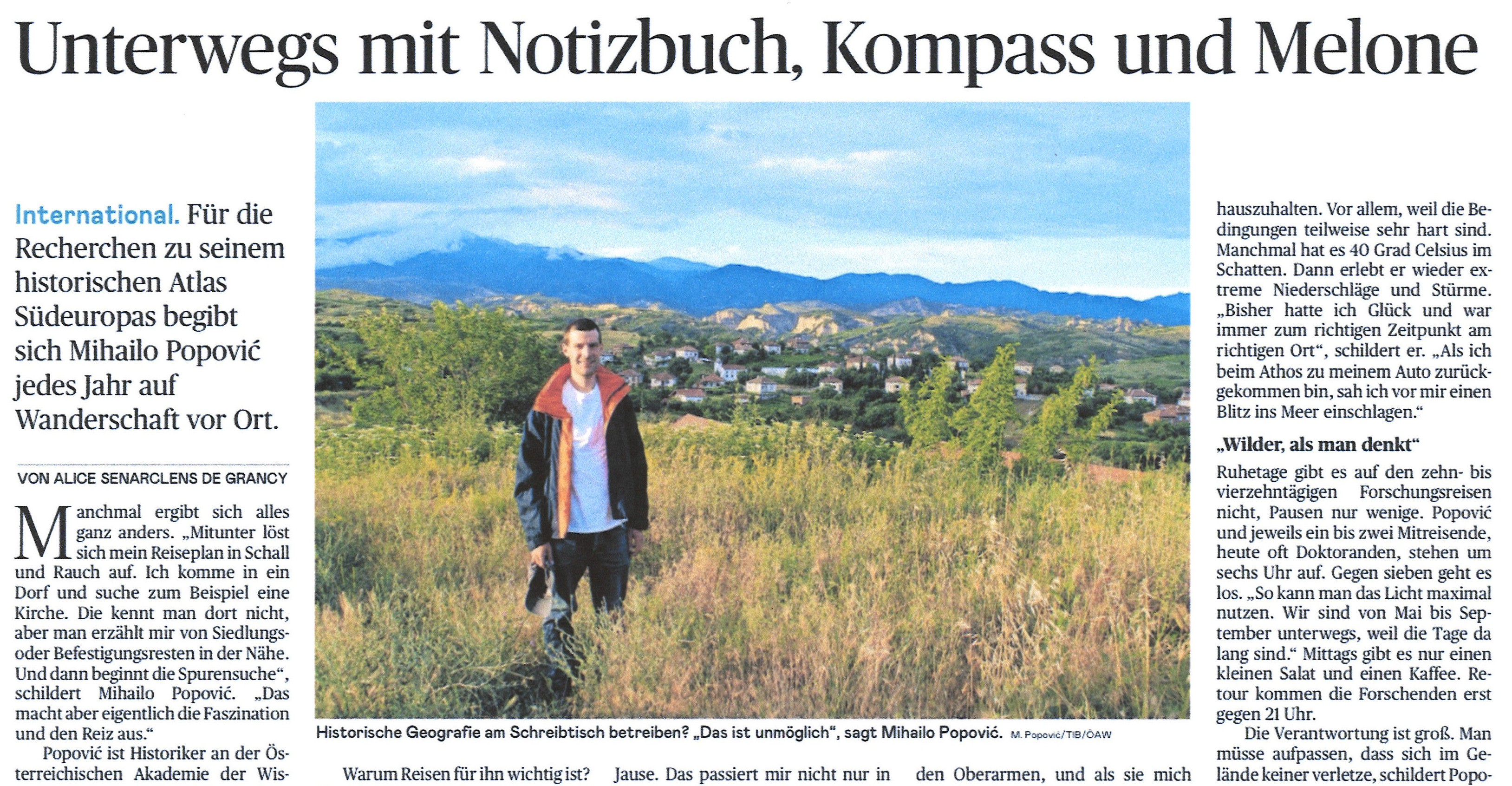
Report in the Newspaper Die Presse
In its print edition of 3 May 2025 the daily newspaper Die Presse reports on the scientific work of Mihailo Popović under the title ‘Unterwegs mit Notizbuch, Kompass und Melone (On the Road with Notebook, Compass and Melon’). Further information can be found via: Die Presse
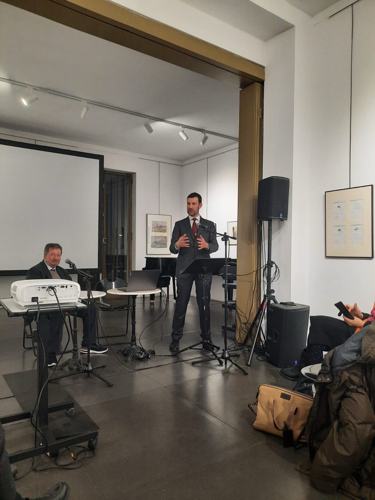
Lecture at the Haus Wittgenstein
On 13 February 2025 Mihailo Popović gave a lecture entitled “Berge und Wildnis auf der südlichen Balkanhalbinsel im Spiegel der Lebensbeschreibungen der Heiligen Ivan Rilski, Prohor Pčinjski, Gavrilo Lesnovski und Joakim Osogovski (Mountains and Wilderness in the Southern Balkan Peninsula as reflected in the Biographies of the Saints Ivan Rilski, Prohor Pčinjski, Gavrilo Lesnovski and Joakim Osogovski)” as part of the Lectorium Bulgaricum at the Haus Wittgenstein in Vienna.
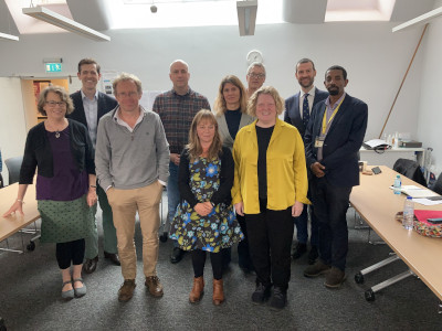
Workshop in Oxford
At the end of May 2024 Mihailo Popović took part in a workshop "Mountains and the Historian" at the University of Oxford, where he gave the paper "Terrifying Aspects of Mountains and their Wilderness in the Medieval Balkans and How to Overcome Them", which can be assigned to the "Sacred Topography" section of the Maps of Power Initiative.
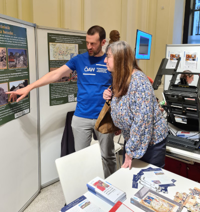
The Long Night of Research in Vienna
On Friday, 24 May 2024, Mihailo Popović took part in the Long Night of Research at the Austrian Academy of Sciences. There he presented the project "Tracing Archaeological Remains and Scholarly Research of the Central Powers in the Region of Prilep-Bitola during WW I (1915-1918)" as a poster, which contributes to the "Cultural Heritage" section of the Maps of Power Initiative.
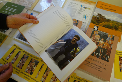
Presentation of an Edited Volume in Honor of Johannes Koder
On the occasion of the 80th birthday of Johannes Koder, friends, companions, students and colleagues presented an edited volume entitled “Der den Kordax tanzt: Hommage an Johannes Koder und seine Forschungen über Byzanz und den Balkan” to him on 23 April 2024 in Vienna, whose contributions relate to the research interests of the jubilarian. Therefore, this volume contains archaeological, toponomastic, historical, philological, historical-geographical and art-historical topics. For further information on the volume: https://eudora-verlag.de/de/product/der-den-kodax-tanzt-hommage-an-johannes-koder_von_mihailo-st-popovic-vratislav-zervan-ralf-c-mueller/
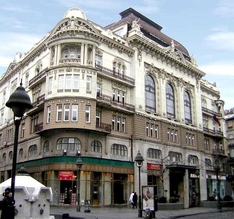
Two Presentations on the Usefulness of OpenAtlas
On 19 September 2023 Bernhard Koschiček-Krombholz and Mihailo St. Popović each gave a lecture at the Serbian Academy of Sciences and Arts in Belgrade. While Bernhard Koschiček-Krombholz spoke about "OpenAtlas: A Database System for the Humanities and Beyond", Mihailo St. Popović's lecture was "On the Usefulness of OpenAtlas in Historical Geography". Afterwards, they had an intensive exchange with the team of the project "From Barbarians to Christians and Rhomaioi. The Process of Byzantinization in the Central Balkans (Late 10th – Mid-13th Century)" on aspects of Digital Humanities.

Workshop on Medieval Athos in Oxford
On 29 September 2023 Mihailo St. Popović gave a paper entitled "Serbian Noblewomen and the Clergy in the Middle Ages: A Comparison between Mara Branković and Jelena Anžujska regarding Athonite Monks and Franciscan Friars" at the workshop "A Special Relationship? Gender on Medieval Mount Athos" in Oxford, UK.
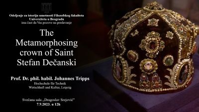
Paper on the Crown of the Saint King Stefan Dečanski
Professor Dr. Johannes Tripps (Leipzig University of Applied Sciences) gave a much publicised art historical paper on the crown of the Saint King Stefan Dečanski within the framework of the project “Beyond East and West: Geocommunicating the Sacred Landscapes of "Duklja" and "Raška" through Space and Time (11th-14th Cent.)” at the University of Belgrade. See a record of the paper via: https://www.youtube.com/@MapsOfPower

TIB Balkans at the IMC Leeds 2023
Scholars of the TIB Balkans presented their newest scholarly results together with colleagues of the Natural History Museum Vienna, the Ludwig Boltzmann Gesellschaft, the Leipzig University of Applied Sciences (HTWK Leipzig), the University Belgrade and the ACDH-CH of the Austrian Academy of Sciences in three sessions entitled “Entanglements across Medieval Space, Objects, and Data” on 6 July 2023 at the IMC Leeds.
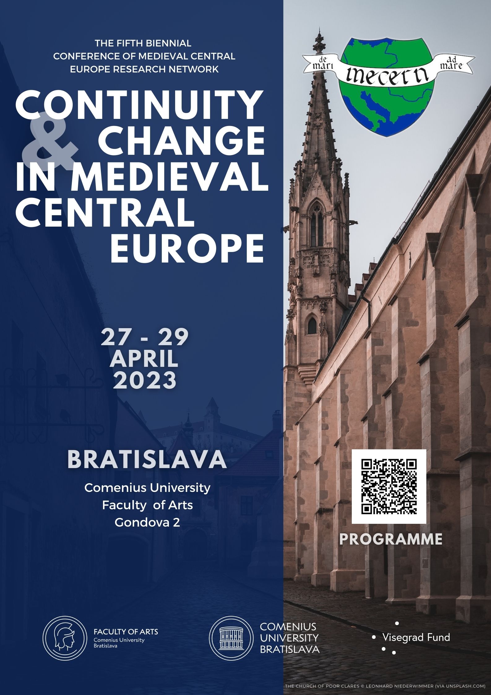
presentation on MECERN conference
Vratislav Zervan and Mihailo Popović took part in the MECERN conference “Continuity and Change in Medieval Central Europe” in Bratislava in April 2023 and presented a joint paper entitled “The Hagiogeography of Saint Archangel Michael in the Balkans and Central Europe in Medieval Times”.
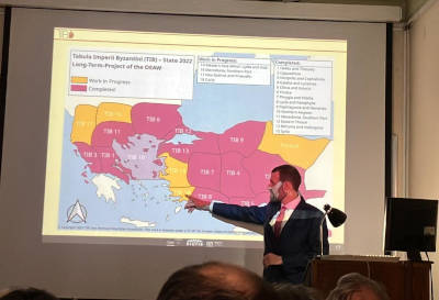
presentation at the Serbian Academy of Sciences and Arts
Mihailo Popović was invited by the Institute for Byzantine Studies of the Serbian Academy of Sciences and Arts to give a paper entitled “Пројекат Tabula Imperii Byzantini: о будућности (?) проучавања историјске географије Византије” [“The Project Tabula Imperii Byzantini: on the Future (?) of the Research in the Field of the Historical Geography of Byzantium”] on 22 February 2023 in Belgrade.
Our initiative fully supports the "Vienna Manifesto on Digital Humanism".
