new thoughts and ideas are transforming Historical Geography, as are for example Digital Humanities and a wide range of new methodologies (like GIS – Geographic Information System and HGIS – Historical Geographic Information System). Therefore, new methods and theories are increasingly and at a fast pace being applied to the Historical Geography of Byzantium and adjacent areas (i.e. South-East Europe and Eastern Europe).
this international publication series aims to present original research in the fields of Historical Geography, Byzantine Studies, Medieval Studies, Balkan Studies, Archaeology, Geography, Cartography, GIS / HGIS and Cultural Heritage. We invite manuscripts – monographs as well as conference proceedings – from a broad range of all these scholarly fields, with a focus on the regions of the former Byzantine Empire, especially South-East Europe and Eastern Europe, and we particularly welcome interdisciplinary approaches.
digital HistGeo Lecture Series
in order to communicate scholarly results of the “Tabula Imperii Byzantini (TIB) Balkans” of the Austrian Academy of Sciences and its related sub-projects to national and international scholars, students as well as the interested public in Vienna, Austria and the world, Mihailo Popović, Veronika Polloczek, Bernhard Koschiček-Krombholz and Vratislav Zervan have initiated together the “HistGeo Lecture Series” in Vienna in January 2019 (in succession of the “DPP Lecture Series” founded in January 2017).
initially, we had started with lectures in presence in Vienna, which were unfortunately interrupted by the COVID pandemic. Therefore, we have decided to stage them online starting with January 2023. They are now called the "Digital HistGeo Lecture Series" and we try to stage them quarterly each year (roughly in March, June, September and December).
our aim is to present papers containing our own research, but also to attract and invite speakers, the papers of which have the potential to foster discussions on new methods and digital tools in the fields of Medieval History, Byzantine Studies, Balkan Studies, Historical Geography, Cartography, Digital Humanities, GIScience and Software Engineering.
- No. 1 / 16.02.2023: Studying Space in Ancient Settlements - The Streets of Avaris, the Use of Space, and the Reification Trap (Silvia Gómez Senovilla )
- No. 2 / 24.06.2024: Mapping Mobility, Constructing Community - Considerations on the Definition, Representation and Spatiality of Pastoral Communities in the Byzantine and Early Ottoman Balkans (Guillaume Bidaut )
HistGeo Newsletter
our HistGeo Newsletter informs you twice a year – in the months of June and December – on scholarly activities, cooperations, progress, results and new publications, which have been achieved as cornerstones of the initiative Maps of Power. Formerly, we published the Newsletter four times a year, but we have shifted it to two editions per year since 2022.
in the Newsletter’s reports we focus on the fields of Historical Geography, Historical Atlases, Mapping, Digital Mapping and Digital Humanities in general. It aims at highlighting the scholarly activities of scholars involved in the initiative Maps of Power and the TIB Balkans as well as colleagues from other fields of study.
Please feel free to browse our archive of Newsletters. If you have any questions or remarks, please do contact us via mapsofpower@oeaw.ac.at
2019
2020
2021
2022
2023
2024
2025
volumes
author:
Andreas Külzer, Mihailo St. Popović eds.
pages:
526
ISBN:
978-86-6263-191-6
citation:
Andreas Külzer, Mihailo St. Popović (eds.), Space, Landscapes and Settlements in Byzantium. Studies in Historical Geography of the Eastern Mediterranean Presented to Johannes Koder (Studies in Historical Geography and Cultural Heritage 1). Vienna–Novi Sad (Akademska knjiga) 2017.
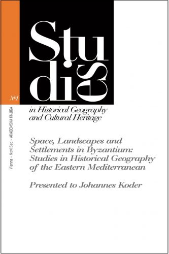
on the occasion of the 75th birthday of Professor Dr. Johannes Koder the project leaders of the Long-Term Project Tabula Imperii Byzantini (TIB) at the Austrian Academy of Sciences, Prof. Dr. Andreas Külzer and Doz. Dr. Mihailo Popović (both Institute for Medieval Research, Division of Byzantine Research), have invited 21 renowned scholars from the academic fields of Historical Geography, Archaeology, Geography and Cartography to write contributions. The result is an edited volume (Festschrift) entitled “Space, Landscapes and Settlements in Byzantium. Studies in Historical Geography of the Eastern Mediterranean”.
Johannes Koder, full member (w. M.) of the Austrian Academy of Sciences, has decisively shaped the scholarly work of the Tabula Imperii Byzantini since the year 1966 as a researcher of the first hour and directed it in the succession of Prof. Dr. Herbert Hunger from 1995 until 2015. He is the editor of the series Tabula Imperii Byzantini at the Austrian Academy of Sciences. His scholarly oeuvre includes groundbreaking publications on the Historical Geography of the Eastern Mediterranean and Byzantium.
the edited volume (Festschrift) has been published as volume 1 of the series “Studies in Historical Geography and Cultural Heritage”. This series was founded by Mihailo Popović as project leader of the Digital Cluster Project “Digitising Patterns of Power (DPP): Peripheral Mountains in the Medieval World” at the Institute for Medieval Research of the Austrian Academy of Sciences in the spring of 2016 and is edited by Andreas Külzer and Mihailo Popović in order to innovate the historical-geographical research in Byzantine Studies. The series is printed by the publishing house Akademska Knjiga in Novi Sad.
author:
Andreas Külzer ed.
pages:
352
ISBN:
978-86-6263-243-2
citation:
Andreas Külzer (ed.), Herbert Hunger und die Wiener Schule der Byzantinistik (Studies in Historical Geography and Cultural Heritage 2). Vienna–Novi Sad (Akademska knjiga) 2019.
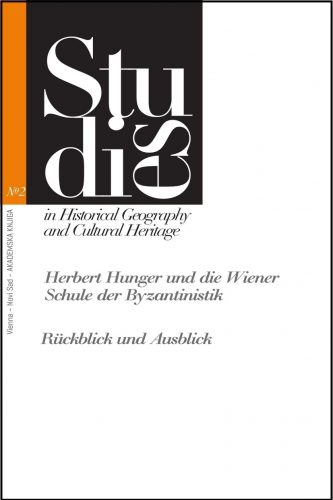
on 9 December 2014, Prof. Dr. Dr. h.c. mult. Herbert Hunger (1914–2000), the founder of the Institute of Byzantine Studies (today: and Modern Greek Studies) of the University of Vienna and long-standing president of the Austrian Academy of Sciences would have celebrated his hundredth birthday. On this occasion, distinguished scholars from different parts of Europe and the United States of America met in Vienna to honor the famous researcher and to discuss the afterlife of his academic work in the fields of international Byzantine Studies. Prof. Dr. Andreas Külzer collected several significant contributions of the conference in this volume, which could serve as a source of scientific inspiration especially for scholars working in the various parts of history, historical geography and fundamental research.
author:
Andreas Külzer, Veronika Polloczek, Mihailo St. Popović eds.
pages:
240
ISBN:
978-86-6263-305-7
citation:
Andreas Külzer, Veronika Polloczek, Mihailo St. Popović (eds.), Raum und Geschichte: der historische Atlas 'Tabula Imperii Byzantini (TIB)' an der Österreichischen Akademie der Wissenschaften (Studies in Historical Geography and Cultural Heritage 3). Vienna–Novi Sad (Akademska knjiga) 2020.
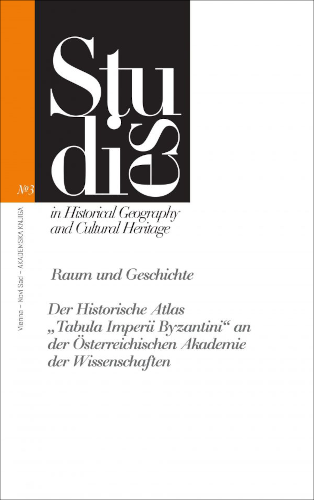
The Long-Term Project “Tabula Imperii Byzantini (TIB)” (Institute for Medieval Research, Division of Byzantine Research) of the Austrian Academy of Sciences was founded in 1966. It is a very active and innovative scholarly endeavour and at the same time a keeper of TIB data sets (slides, photographs etc.), which are of remarkable importance for the Cultural Heritage of the Mediterranean World. Therefore, the entire TIB team (the active and the emeriti scholars) has prepared an edited volume in German entitled “Raum und Geschichte: der historische Atlas ‘Tabula Imperii Byzantini (TIB)’ an der Österreichischen Akademie der Wissenschaften”. It is funded by the Jubiläumsfonds der Österreichischen Nationalbank Nr. 17771 via the scholarly project “Die digitale Tabula Imperii Byzantini (Dig-TIB) als Beitrag zum Weltkulturerbe” and has been published by the editors Andreas Külzer, Veronika Polloczek and Mihailo St. Popović as volume 3 of the series “Studies in Historical Geography and Cultural Heritage” at the publishing house Akademska Knjiga (Novi Sad, Serbia). The aim of this publication is to introduce, especially to an Austrian audience, the history, scholarly results, future ideas and plans and contribution to national as well as international academia of the TIB, since the TIB is an integral part of Austrian scholarship funded by the Austrian society. Although Historical Geography is a very specialised branch of Byzantine Studies, we do believe that the existence of such a project in Austria and its documentation will meet public interest and awareness.
author:
Ludovic Bender
pages:
464
ISBN:
978-86-6263-305-7
citation:
Ludovic Bender, Ermitages et monastères rupestres de la Laconie byzantine (XIe-XVe siècle) : Archéologie, topographie et paysages (Studies in Historical Geography and Cultural Heritage 4). Vienna–Novi Sad (Akademska knjiga) 2022.
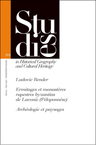
the landscape of the Southeast Peloponnese (Laconia, Greece), a very important region of the Empire in the context of the late Byzantine period, was comprised of important bishopric centers, such as Mistra and Monemvasia, as well as numerous villages, powerful monastic foundations, and smaller hermitages frequently built in caves and isolated settings. Grounded both on systematic fieldwork and detailed surveys of the monuments, this book is the first comprehensive study of the eremitical and monastic landscapes of the region. It investigates the interactions of isolated hermits and established communities, the relationships of large monasteries to smaller foundations, and the interweaving of monastic and rural economies. It aims at identifying the monks themselves, their preoccupations and aspirations, which are reflected not only by the choice of the patron saints of the holy places they founded or the content of the painted decoration but also by the choice of location or a deep relationship with natural elements of the landscape.
citation Rules and Fonts
our Series is published by the publishing house “Akademska knjiga” in Novi Sad, Serbia, which was founded in July 2006 with the aim of publishing important scholarship in the Social Sciences and the Humanities by national and international authors.
citation Rules
when preparing a manuscript for our Series, please use the following Instructions:
citation Rules
